After more than two weeks of day-hike training and the shorter (but still rather stiff) Pine Creek backpack trip, we set off on the main event, a 4-night, many-lake loop near Mammoth, CA.
Day 1 was a 9-mile + hike up to Thousand Island Lake, along the High Trail, one of two trails that count as the Pacific Crest Trail north of Agnew Meadows.
 |
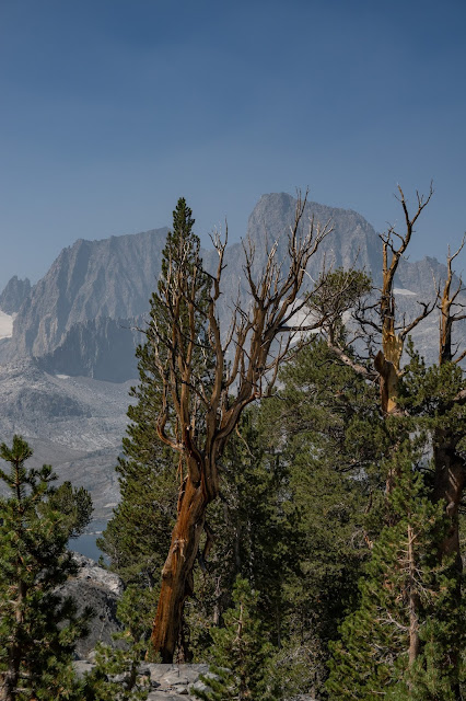
Banner (right) and Ritter were the peaks that defined much of this trip, as we pivoted about them.
|
It was a long day, but we made 1000 Island Lake with enough energy to find a nice, tucked-away campsite. It's a very popular area, so we weren't far from neighbors, but we had our privacy.
 |
Camp, with our almost-matching TarpTents.
|
 |
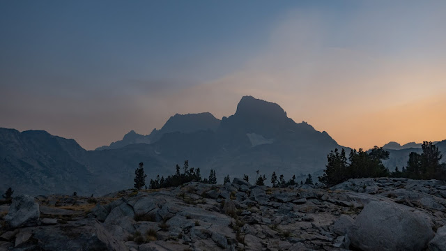
There was lots of smoke in the air, which at least made for interesting light.
|
There was so much smoke that first night that we wondered if we should continue the trip, but as nothing could be done that night, we went to bed. It was much better in the morning.
 |
First light, and a setting moon. Banner Peak on the left, Davis Mt. is the highest point on the right.
|
 |
As the sun rose, the smoke did interesting things.
|
Following our well-established pattern, T. and I got up at the crack of dawn and spent 30-60 minutes taking photos. I always gave up first and returned to camp to get breakfast started, at which point C. would get up, having dodged the coldest part of the day!
 |
By the time the sun was well up, we were ready to hike on to the next lake.
|
Day two was a short traverse over the ridge to Garnet Lake. Even taking our time in the morning and taking it easy on the way, we were there before lunch.
 |
An early look at Garnet, dominated by Banner--and Ritter, now emerging from behind it's brother peak.
|
 |
Garnet was a lot like Thousand Island Lake, only a bit less populated.
|
We had our moment of worry at Garnet, as we approached the lakeshore and found two large groups that had been horsepacked in spread through what looked at first like the only camp area. But knowing a lake that large would have more space, we went on to the next peninsula and camped in peace and solitude. Naps, reading, writing, and photography filled the hours to dark.
 |
A smoke-tinted sunset
|
 |
Sunrise was a little breezy, but clear. The lake was too rough for reflections, but the little tarns scattered around the peninsula were not.
|
 |
Leaving Garnet
|
Day Three was a longer day, up and over to Shadow Creek, then up the creek to Ediza lake. We started early enough to beat the heat, which wasn't too bad anyway.
 |
| Gentian |
 |
Approaching Ediza
|
 |
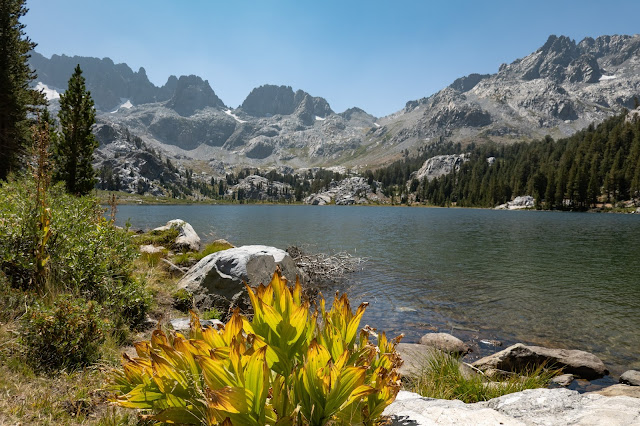
Ediza Lake. Campsites are all on the far side of the lake.
|
The backdrop for the lakes has now become the Minarets, rather than Banner and Ritter, though I believe we could still see Ritter off the north end of the lake basin.
Day four saw the division of our party, as C hiked out on the trail to return to Mammoth, while T and I took a scrambley route past Iceberg and Cecile Lakes to Minaret Lake.
 |
Approaching Iceberg Lake
|
 |
Iceberg Lake
|
 |
Iceberg Lake, just before the trail became a scramble up the talus slope.
|
 |
Cecile Lake had its own stark beauty, but didn't look like anyplace you'd want to camp.
|
 |
The author picking our campsite at Minaret Lake
|
 |
The descent to Minaret Lake was a bit steep.
|
Minaret gave us our best sunrise, with perfect views, light, calm water for reflections, and of course the spectacular Minarets.
Evening and morning.
After that, the only thing left to do was to hike out...
And enjoy a good meal in town!
©Rebecca M. Douglass, 2021
As always, please ask permission to use any photos or text. Link-backs appreciated.
Enjoyed this post? Avoid missing out on future posts by following us.


Compared to which, my one-hour walk in the Peak District looks peanuts! But we each have our paths to tread :)
ReplyDeleteDifferent hikes on different occasions! But you know I find my sanity by pushing my body in the mountains :)
DeleteWonderful pics! You may need to increase your commentary on that initial hike in and its difficulty. 9+ miles and ?? elevation gain? I've been there once and seem to recall some uphill walking.
ReplyDeleteMy records show about 2100’. It had a good climb at the start and, unfortunately, another near the end, with a long traverse that stayed fairly level. The cumulative effect of that under first-day loads (even for 4 nights, the food does start to add up) was what wore me down.
DeleteActually, what's terrifying is that there is virtually no snow in those photos. There are a couple of tiny glaciers and a few permanent snowfields on the peaks, but last winter was so dry, and the summer so hot, that there's not a hint of snow anywhere we had to walk, and hardly any to make the peaks pretty.
ReplyDeleteHi Rebecca - this is a wonderful post to see the photos and the area ... amazing -thank you. Your note about the lack of snow (or little) is not good, that's for sure. Cheers Hilary
ReplyDeleteThis winter isn't supposed to be a lot better, but right now, anyway, we're getting a good dump of water, liquid and frozen, on the state.
Delete